Lousiniko – Kato Kerasia
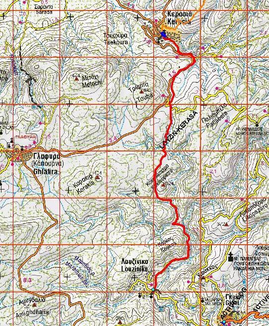
Distance: 7,6 km
Duration: 3 hours with stops, net walking time 2.20′
Altitude difference: from 113m. (Lusiniko) at 305m. at 125m. (Kato Kerasia)
Marking: red signs
Drinking water on the route: no
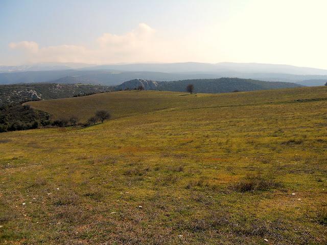
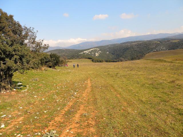
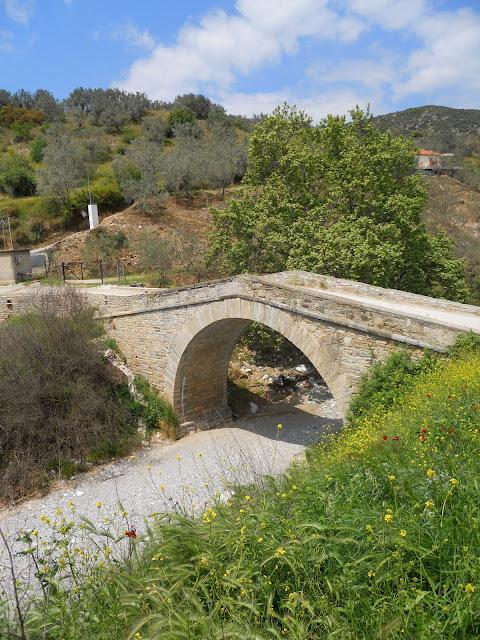
Until the asphalt road was built in the early 60’s, this was the route followed by the Kerasiotes and Venetians to come to Volos. It is a pleasant route, mainly on a path, without great variations in altitude, that begins and ends at a stone arched bridge. And this route is best suited for winter months, as it passes through low vegetation that doesn’t offer much shade. From Kato Kerasia we can return to Volos by bus.
We reach Luziniko by turning towards Phytiko from the Volos ring road and just before Phytiko we turn left at a junction. The paved road leads us to the beautiful stone arched bridge that connects the banks of the Xeria stream.
Immediately after the bridge, a narrow road climbs up to the right, which has a twenty-metre long cobbled path at the beginning. We reach a junction, where we follow the second road from the right and at a new junction we go right. The dirt road follows the course of the gully of Xeria on our right, without gaining or losing altitude. We reach a corral, where the road ends and continues along a path that has a few remnants of a cobbled path. The vegetation on the right and left narrows the path, but does not close it. We ignore a narrower path that climbs uphill to the left and continue on a straight path. Below we find a junction, where we go left downhill (the right path, also downhill, goes towards Agios Athanasios-Lesciani). Our course has now changed direction from north to west.
We reach the bed of a secondary gully that flows into Xiria and continue on the other bank, climbing uphill for a while, until we reach another small gully perpendicular to the previous one. The location is called Dipotama. We enter the riverbed for a few meters and then walk on a path alternately left and right following the stream to the north. Finally, we exit right from the riverbed at a junction, where the right path goes uphill towards Agios Athanasios and Leschiani. We follow the left path, which runs parallel to the stream for a while, then crosses it and climbs up the left bank, changing direction to the west. We ascend now having another ravine on our left, while on our right, on the hill, we see the rocks of Kokkinovrachos.
Reaching the ridge, where there is a corral, we enter a rural road and follow it for a hundred meters. On our right we have a large field and a ruined stone building. Then the road turns left, but we leave it and walk straight on to the border of the field, towards the northeast. After a while we find a wide path that descends parallel to a shallow gully that is a little to the right. Then we walk on flat ground with holly trees and come out in a clearing (a pit of Psychiko) crossed by a rural road. The path continues opposite to the left, which remains passable despite the dense vegetation and eventually comes out in an estate with almond trees. Here in the estate the path becomes unclear. But we walk north towards the building of a drilling well that is in front of us, finding a dry stone bench that shows the path. On our left we have the main road Melissatika-Kanalia. Behind the borehole there is a little cobbled road, but it is blocked by rubble, so we get out on the asphalt a little further on and follow it for four hundred metres.
Twenty meters before a sign for a left turn on the asphalt road, we find a path on the right, which leads us to a rural road and we go left. At a junction then go left again. The rural road soon comes out on the asphalt, but a few meters before, we go right on a downhill narrow dirt road, which below has some remains of a cobbled road and in a short while takes us to the church of Kato Kerasia and the stone arched bridge that exists next to it. We pass the Kerasiotiko stream and immediately arrive at the village square.
To return now to our car that we have left at the bridge of Louzinikos, one solution is to take a taxi from the Volos bus station. Another solution is to get off just before Melissatika, turning from Kerasia to Volos by bus, at a point where there is a permanently parked tanker on the left of the asphalt road and follow the dirt road. In 200 meters we go left on a narrower dirt road that descends slightly and walking straight on it (we ignore a new junction on the left a little further on that also descends) and after passing a fountain, we arrive after 2.2 km at the bridge.

