Lavkos – Platanias (via Ag.Nikolaos)
Duration: 2.15΄
Marking: red signs
Maximum altitude: 350 m.
Drinking water on the route: Agios Nikolaos
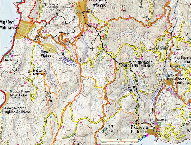
This is the easternmost (and main) route from Lavkos to Platanias, passing by the chapel of Agios Nikolaos. There is also the westernmost route that starts from the cemetery of Lavkos and passes by the chapel of St. John. The two routes join near Platanias. So one can make a circular route, going one way and coming back the other.
Starting from Lavkos Square we walk along the paved cobbled street in a southerly direction (towards the cemetery). After a while we turn left and come out at the junction of the main road that goes to Promiri. We walk on the asphalt for a hundred meters and then, just before the PPC substation on the left of the road, we take a right turn on a cobbled road that climbs up the ridge. On the ridge we meet the road that goes to Mikro beach and we cross it diagonally, going downhill on the other side on a path heading southeast. Below we come out on the road again and follow it for a hundred meters.
Where the road makes a smooth turn to the left, a few metres to the right of a small terrace with dry stone, we leave it and go straight up the ridge, walking on the edge of an estate. We skip the fence of the estate on the other side and re-enter the road to Mikro, which here is paved. Immediately on the left there is a wide dirt road to the monastery of Agios Spyridonos. We take the next narrow dirt road on the left, pass a concrete water tank on the right and start descending on a ploughed path. A water pipe runs under the soil. After a while we find the continuation of the path on the right and continue downhill, finding a few cobbled paths. We come out on a dirt road and follow it left to the east.
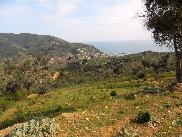
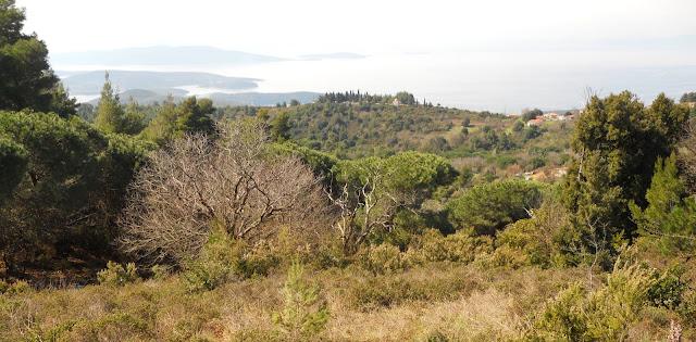
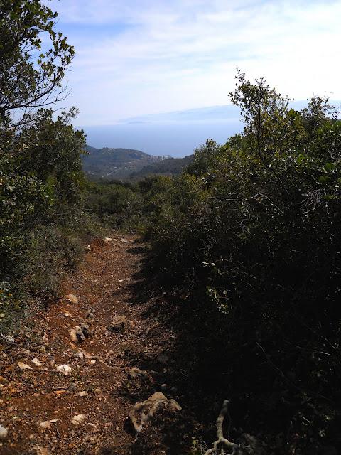
In fifty meters there is the continuation of the path on the right, which was cleared in the winter of 2011 by the members of the Friends of South Pelion Cobbles Association and we descend through dense low vegetation, seeing the Aegean Sea in front of us. We come back to the road where it makes a sharp left turn and another road goes right towards Sykia. We go left (southeast), and after a hundred meters there is a fork where we go straight into an olive grove. The path here is unclear and goes straight downhill through the olive grove, but in thirty metres we find it going downhill to the south and after a while we come out on a narrow dirt road. To the left of the road there is a house. A hundred metres further on, our road brings us to the chapel of Agios Nikolaos.
Continuing on the road, we walk between olive trees and a couple of huts, and below we leave the road that turns left and go straight through the olive grove on a wide path.
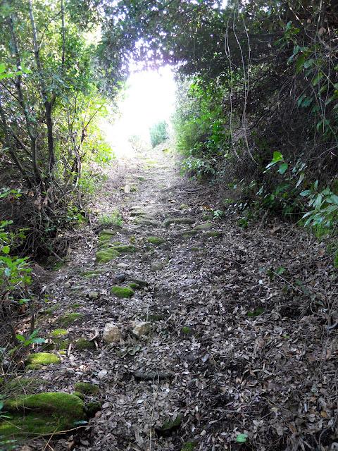
The path alternates with a cobbled path that, going downhill continuously, reaches a small stream with some water and crosses it. The location here is called Poros. The cobbled path climbs up the ridge for a while and then becomes a path that leads to another olive grove. Going uphill smoothly, we come out diagonally on a dirt road and follow it downhill from now on. The location here is called Achladoules and a few meters to the right there is a hut. Below a fork we go right and in ten minutes we reach a crossroads, where we follow the road to the left that descends downhill with a stream on its right side. Our road finally comes out at the bed of the river Halorema at a point where there is a basketball court and walking through the bed we reach the beach of Platanias in a short while.

